


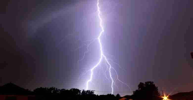
The National Weather Service in Lacrosse says a strong system targets the Upper Midwest today bringing chances for severe storms to portions of the forecast area, especially northeast Iowa and southwest Wisconsin.
NWS meteorologist Joey Riccioti says we can expect rain during the day and the more volatile weather is anticipated for late afternoon, early evening.
Strong wind gusts from 35 to 50 mph are anticipated to follow on Wednesday across the region with highest wind gusts expected in open/unsheltered areas.
TUESDAY
- What: Severe storms producing large hail or damaging winds possible. An isolated tornadoes cannot be ruled out.
- Where: Highest risk in northeast Iowa and southern Wisconsin.
- Timing: 4 PM to Midnight
- Impacts: Hail damage to property, crops possible. Winds could damage trees, down power lines.
- ACTION: Stay weather aware! Take shelter when storms approach!
WEDNESDAY
- What: Strong wind gusts 35 to 50 mph
- Where: Widespread across the region with the highest gusts in open/unsheltered areas.
- Timing: Highest gusts Wednesday afternoon
- Impacts: High profile vehicles may encounter difficult travel (especially along north-south running roads). Outdoor furniture, loose objects likely to get blown around
- ACTION: Secure lightweight, outdoor objects (such as garbage cans). Be prepared for difficult driving conditions, especially in open areas.