




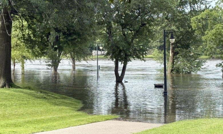
From the City of Charles City Facebook page on latest flood-related notification:
Friday, July 10 flood update (11:44AM):
The NOAA currently measures the Cedar River height at 17.27 feet, with an updated crest forecast at 1 p.m. today with a measurement of 17.7 feet. Barricades will stay in place and city crews are continuing to monitor water levels. According to the National Weather Service, the river is expected to fall below flood stage early tomorrow afternoon.
Please note that the following roads/intersections/infrastructures are closed due to flooding:
– Charles City Cable Stayed Pedestrian Bridge
– Kellogg Avenue (section of road north of bridge)
– Park Drive and Gilbert Street
– Cedar Circle and Park Drive
– Intersection of Riverside and N Illinois Streets
– Clark Street & N Johnson Street
– Riverside/St. Mary’s Cul de sac at river
– Ballfields at Sportsman Park, Brackett Street
– Leland Avenue at Clark
– St. Mary at Clark
We will continue to update this post with additional road closures if they occur. If you are around these areas, please exercise caution and obey all road closures and barricades. Never attempt to drive through flooded roadways.
Stay Connected with KCHA News
Add KCHA News as a preferred source on Google to see more local news, weather, and sports in your feed.
Follow us on Facebook for breaking news, severe weather alerts, sports, and more.

