



September Fourth Wettest in Iowa History, Areas of Northeast Iowa Record 8+ Inches

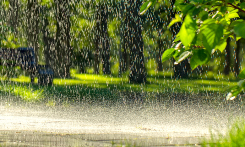
September will end up in the state record books for precipitation.
State climatologist Justin Glisan says the preliminary numbers show a statewide average of about 8 inches, over double what we expect. This is around the 4th wettest September on record, and rivals September 2018, which was part of the second wettest year on record for the state of Iowa.
Glisan says the weather patterns aligned so there was plenty of moisture in the air, and conditions were right for it to fall, noting, “It hasn’t been really windy out there. So these thunderstorms will pop up and they’ll just drain over the same part of the state.”
All the rain overshadowed the temperatures in September, which averaged 69 degrees, five degrees above the normal 30-year climatology average temperature of 64 degrees. Preliminarily numbers make it about the seventh warmest September in 154 years of records.
September Rainfall Totals—National Weather Service
Charles City………4.35 inches (month opened with 5 days 80+ degrees)
Osage…………….4.59 inches
Hampton………….4.66 inches
Mason City……….4.88 inches
St. Ansgar………..5.44 inches
Waukon…………..6.30 inches
Nashua……………6.67 inches
Decorah…………..7.52 inches
Waterloo………….8.06 inches
New Hampton……8.09 inches
Grundy Center……8.53 inches
Fayette……………9.12 inches
Stay Connected with KCHA News
Add KCHA News as a preferred source on Google to see more local news, weather, and sports in your feed.
Follow us on Facebook for breaking news, severe weather alerts, sports, and more.

