




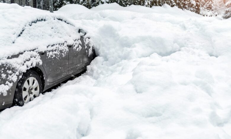
In the span of just a few days, a good portion of north Iowa has gone from thoughts of spring to digging out from a winter storm that dumped over a foot of snow on some locations.
It’s all part of a weather pattern that saw a swing in high temperatures of 30-degrees or more and going from concerns over possible grass fires to ground now covered in snow.
According to data from the National Weather Service (NWS), temps earlier this week included record highs of 61 in Charles City, 63 in Decorah and 66 in Waterloo on Monday (02.16). Record highs were also set Tuesday (02.17) in various locations, including 58 in Osage, 59 in Mason City, and 62 in New Hampton and Fayette.
The warm temperatures, combined with gusty winds between 40 and 50 mph and low humidities between 12 and 22%, prompted Red Flag Warnings on Wednesday (02,18), with officials discouraging outdoor burning because any fire that got out of control would spread rapidly.
By Friday (02.20) morning, snow shovels, snow blowers, and snow plows were being employed after a winter storm started moving through the region Thursday (02.19). NWS snow totals, for the 24-hour period ending about 8 am Friday, included 15.5 inches at Fredericksburg, 15 inches at Marble Rock and Fort Atkinson, 14 inches at Waucoma, 13 inches near Clarksville, and 12 inches near Charles City, New Hampton and Decorah.
Other snowfall amounts included 11 inches at Waterloo and Hampton, with eight inches in Cresco.
Conversely, Mason City only received about 2.5 inches of snow and less than two inches fell at Osage.
Stay Connected with KCHA News
Add KCHA News as a preferred source on Google to see more local news, weather, and sports in your feed.
Follow us on Facebook for breaking news, severe weather alerts, sports, and more.

